


Versatile
We love being outdoor and most of us attempt multiple activities. Cycling, hiking, running, trail running, the Cross Plus can do it all even aerial sports like paragliding. The ability to use multiple map types expands the areas of use. It is even possible to scan your old paper maps into the Land software and use these, electronically.


Designed for adventure
Perfect for the serious athlete and the weekend adventurer alike. The Cross Plus has proved itself in tough races around the world (like the Titan race). Ideally sized for single handed operation and light enough wear on the body.
Tough
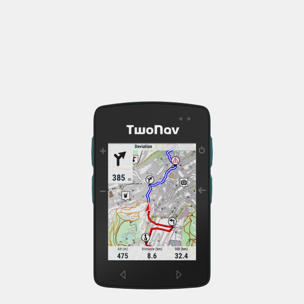
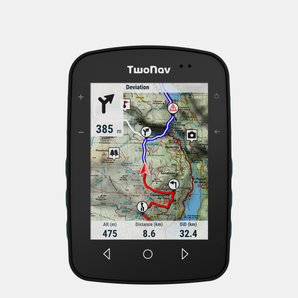
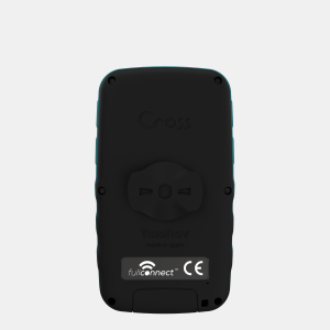
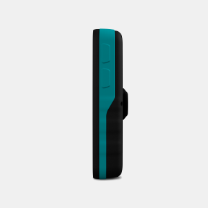
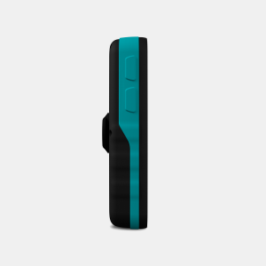
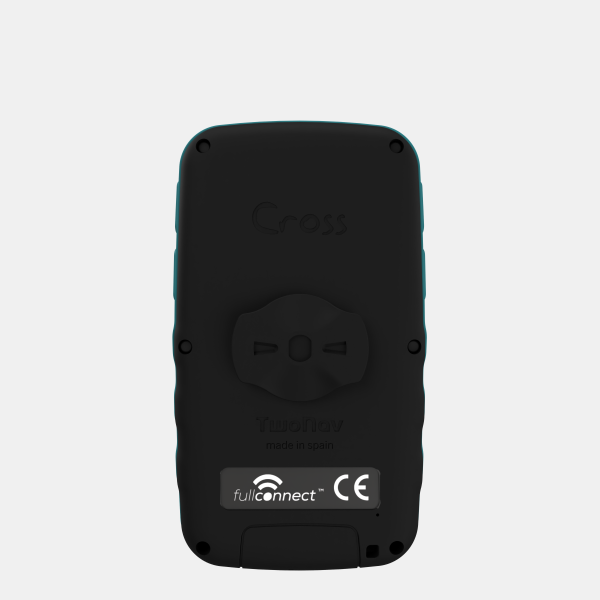
Lightweight but built for the outdoors. It features a Gorilla glass screen to keep the display safe and scratch free. Mechanically robust enough to meet US military specification. The unit is charged via a magnetic charging port that keeps the water out even if fully submerged. Six peripheral buttons aid usability. The display uses Blanview technology which increases visibility in direct sunlight whilst reducing power consumption (details can be found here Blanview ).
In the box
- TwoNav Cross Plus
- TwoNav Quick Start Guide
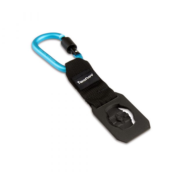
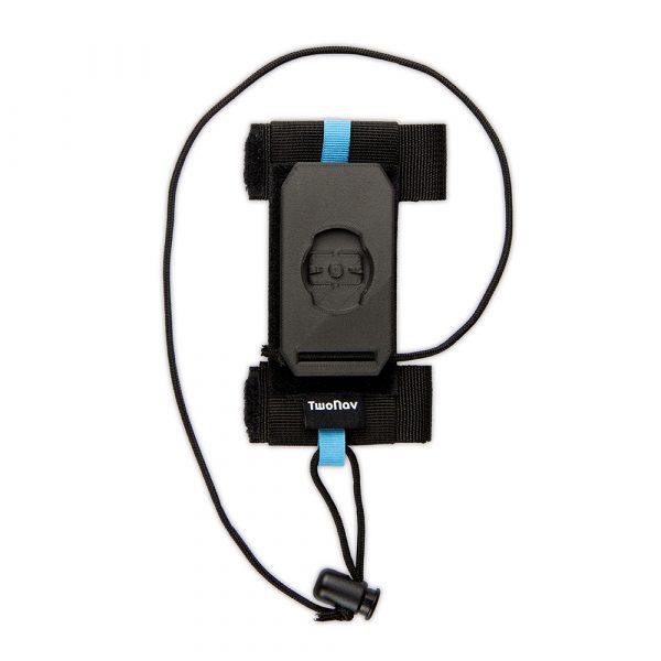
- Quicklock stem/handlebar bike mount
- USB-USB C cable
Also included:
- Preloaded OSM (Open Street Maps) of Western Europe
- Preloaded Western Europe 3d Relief Map
- Regions of OSM (Open Street Maps) can be downloaded worldwide for free
- 1 x region of Ordnance Survey 1:50k Maps can be downloaded for free
- 6 months TwoNav PRO subscription plan for free
- App TwoNav (Android/iOS)
- App Link (Android/iOS)
- Personal storage in the GO cloud™
- 6 months of SeeMe™ for free
- 2 years manufacturer warranty
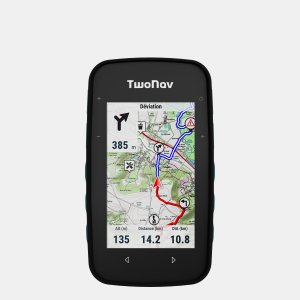
Specifications
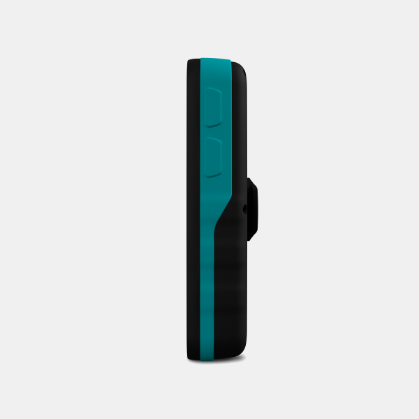
- Dimensions: 110 x 63 x 21* mm (*25 mm QuickLock)
- Weight: 172g
- Durability: IP67, MIL-STD-810
- Temperature: -20ºc – 70ºc
- Screen size: 3.2″ with Gorilla glass
- Display technology: Capacitive touch screen, Blanview with Optical Bonding, automatic backlight
- Display resolution: 480 x 800 pixels
- Battery: 3300mAh, 20h under normal use
- Power: USB-C
- GNSS: GPS, Galileo, Glonass, Beidou, SBAS/EGNOS
- Connectivity: Wi-Fi, Bluetooth
- Sensors: accelerometer, barometer
- Memory: 32GB
Maps
Preloaded
- Preloaded: UK Overview 1:250.000 (Ordnance Survey)
- Preloaded: 3D Relief Western Europe (NASA)
- Preloaded: OSM Western Europe (Open Street Map)
Included with purchase (download from mytwonav.com)
- Single zone Great Britain Topo 1:50.000 (Ordnance Survey)
- British Isles (TomTom)
- OSM World (Open Street Map)
- 3D Relief United Kingdom (NASA)
More..
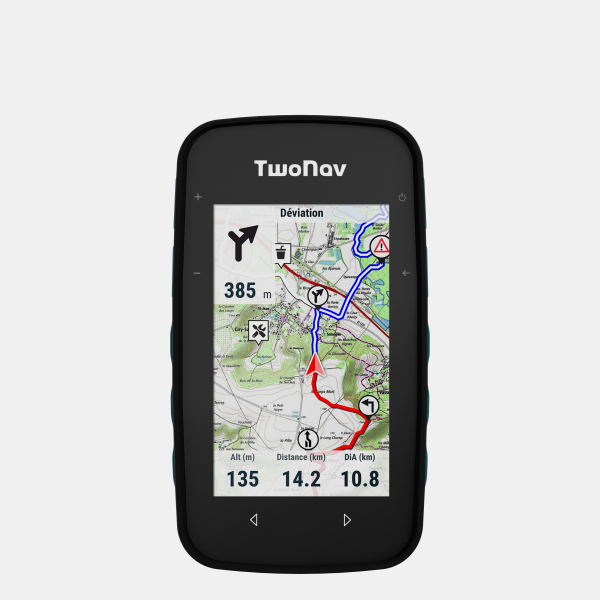
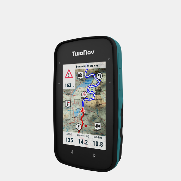
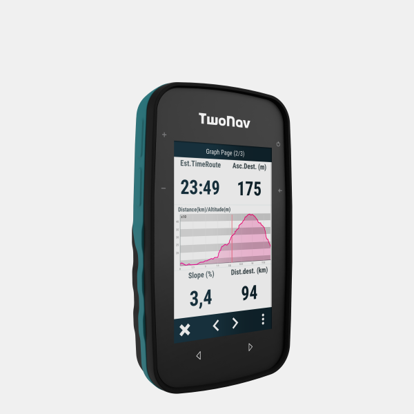
Navigation
- Combine different terrain maps on a single device
- Route indications and alarms
- Return to starting point
- Browsing and edit routes during activity
- Import routes from Komoot and other popular route planners
- Use the powerful TwoNav Land mapping software for the best
- Live broadcast of position with SeeMe software