
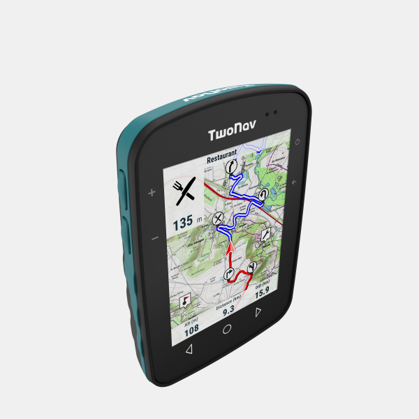

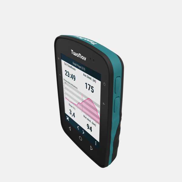

More Pixels please
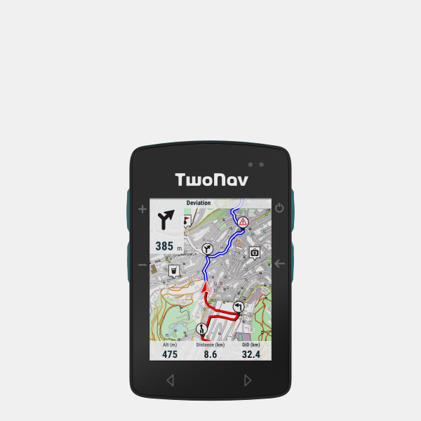
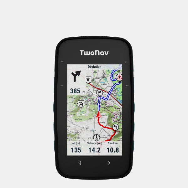
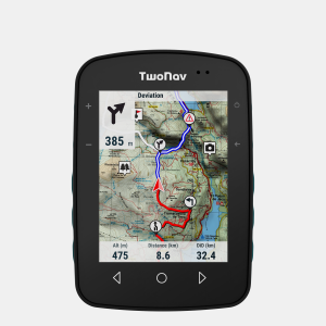
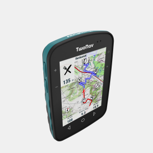
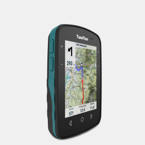
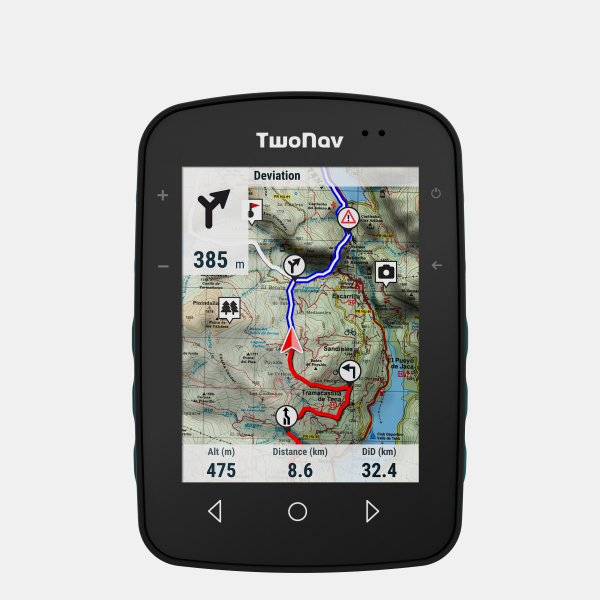
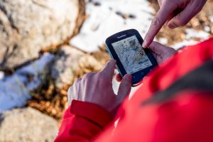
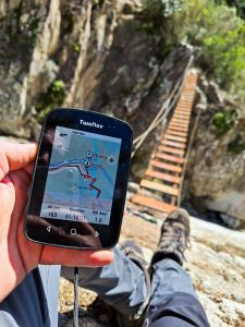
With a 3.7″ screen the Terra shows more. More than other handheld GPS units. And this is important when you need to see the detail in your map , off-road trying to stay on route. And doubly importantly being outside in sunny weather, the Terra shows more because of Blanview technology. And will go on showing more for many hours.
Where maps come alive
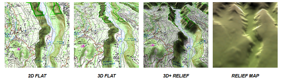
A combination of a great display with the best maps. The unit has a large internal memory to store multiple maps form the worlds main cartographic publishers. Beyond road maps a user can download topographic maps which when combined with a relief map provides the user with a stunning 3D landscape to help understand the terrain ahead.
Multi-sport
Again the screen size sets it apart from the competition. And it’s light, especially compared to other hand held units. Some activities may call for something smaller but for most of us, this is the go-to device to help find ourselves.
No compromise
What to use? A smartphone? A smartwatch? An old school paper map? With the Terra there are no compromises. It is a dedicated mapping device that will show your position and route with clarity, in all weathers. Remove the frustrations, enjoy the moment.
What’s included:
In the box
- TwoNav Terra
- TwoNav Quick Start Guide
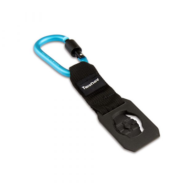
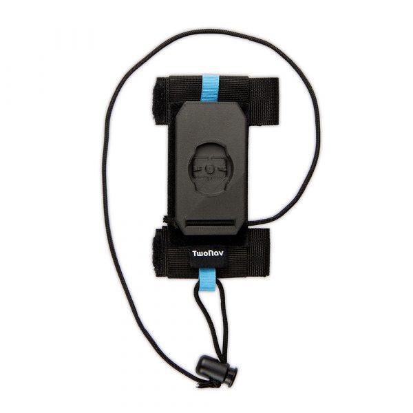
- Quicklock stem/handlebar bike mount
- USB-USB C cable
Your new unit also comes with the following:
- Preloaded OSM (Open Street Maps) of Western Europe
- Preloaded Western Europe 3d Relief Map
- Regions of OSM (Open Street Maps) can be downloaded worldwide for free
- 1 x region of Ordnance Survey 1:50k Maps can be downloaded for free
- 6 months TwoNav PRO subscription plan for free
- App TwoNav (Android/iOS)
- App Link (Android/iOS)
- Personal storage in the GO cloud™
- 6 months of SeeMe™ for free
- 2 years manufacturer warranty
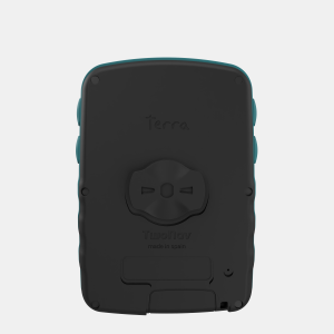
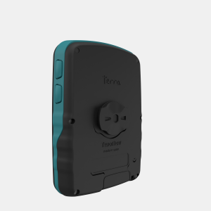
Specifications
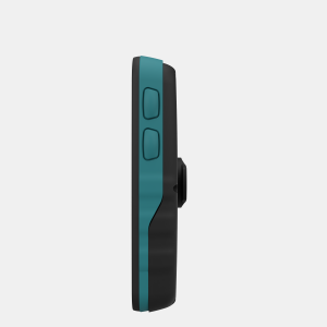
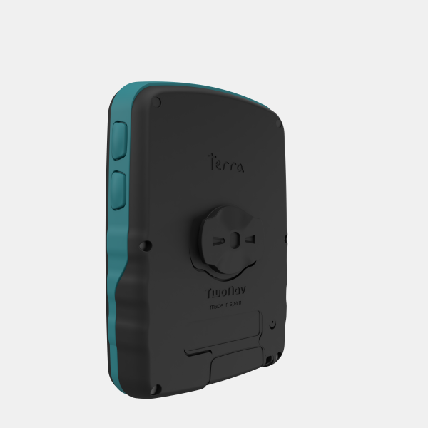
- Dimensions: 115 x 80 x 19* mm (*23 mm QuickLock)
- Weight: 198g
- Durability: IP68, MIL-STD-810
- Temperature: -20ºc – 70ºc
- Screen size: 3.7″ with Gorilla glass
- Display technology: Capacitive touch screen, Blanview with Optical Bonding, automatic backlight
- Display resolution: 480 x 640 pixels
- Battery: 2600mAh, 15h under normal use
- Power: USB-C
- GNSS: GPS, Galileo, Glonass, Beidou, SBAS/EGNOS
- Connectivity: Wi-Fi, Bluetooth
- Sensors: accelerometer, barometer
- Memory: 32GB
Maps
Preloaded
- Preloaded: UK Overview 1:250.000 (Ordnance Survey)
- Preloaded: 3D Relief Western Europe (NASA)
- Preloaded: OSM Western Europe (Open Street Map)
Included with purchase (download from mytwonav.com)
- Single zone Great Britain Topo 1:50.000 (Ordnance Survey)
- British Isles (TomTom)
- OSM World (Open Street Map)
- 3D Relief United Kingdom (NASA)
More..
Navigation
- Combine different terrain maps on a single device
- Route indications and alarms
- Return to starting point
- Browsing and edit routes during activity
- Import routes from Komoot and other popular route planners
- Use the powerful TwoNav Land mapping software for the best
- Live broadcast of position with SeeMe software